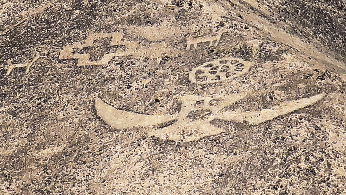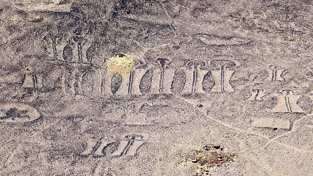
There’s something that looks awfully familiar about the squiggles and cartoon-like figures that cover the hills of a remote site in Chile’s Atacama Desert.
If you’ve ever travelled Route 66 or followed the signs to a truck stop on any major highway, you might interpret the enormous arrows, logos and larger-than-life figures of animals and humans as road signs advertising “gas, food and lodging.”
But who were they advertising to? That’s the mystery and the fun, because today they’re in the middle of nowhere and there are no remaining stories or even reliable myths about how they got here. It’s as though they’re leftovers from an outpost whose residents simply vanished.
Or–as some suggest—was this a roadside oasis set up by alien traders who eventually packed up and zoomed back to their home planet? Let’s investigate.
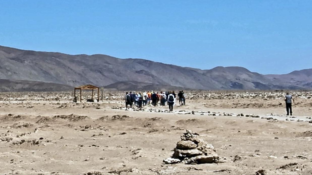
On a complimentary shore expedition from Regent Seven Seas luxurious Seven Seas Explorer docked in Iquique, on Chile’s northwest coast, we’ve driven for over an hour through a barren landscape and turned off the main road onto a dusty, sketchy trail. The Atacama Desert, a plateau west of the Andes Mountains, is today one of the driest places on Earth.
But there’s something extremely strange when you look at the sand: It seems to be studded with broken rocks that look for all the world like the remains of coral reefs. Wow. Could this possibly once have been the sea shore? Today, we’re many miles from the ocean.
That’s where it gets interesting for UFOlogists. What if the human-built signs needed to be spotted from space? The best-known geoglyphs in the world are the Nazca lines, located about 800 kilometers north of here in coastal Peru, that are believed to have been created earlier, between 200 BC and 800 AD. Those lines that are only intelligible from the air have been the stuff of countless theories that they could be landing strips for UFOs.
So were the Pintados hills really a shopping mall for a galactic trading empire?
That’s still a bit far-fetched, because the purported age of these hillside signs coincide with the Middle Ages in Europe, which likely had a whole lot more attractions even then, but didn’t seem to have any trade with somewhere out there. But that’s neither here nor there. Outer planetary visitors might have preferred the better prices and trade for minerals and whatever in the Atacama.
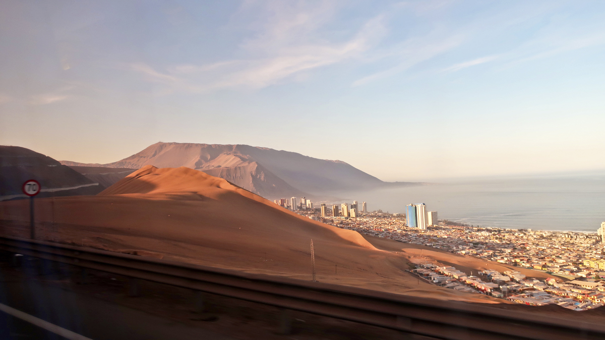
Enormous squiggles and shapes stand out on a cluster of rolling hills known as El Salar de Pintados. They have shapes of fish, flocks of animals and people, and some are bird-like. Squint a bit and you can imagine several as airplanes or flying saucers surrounded by drones.
All we know for certain is that there was a lot of work involved in scraping the hills and stacking millions of black rocks into these house-sized shapes known as geoglyphs. This wasn’t entertainment. It was a serious undertaking. There are thousands of these covering the desert hills, including one nicknamed the Atacama Giant, a human figure nearly 400 feet tall with a halo of rays coming out of its head.
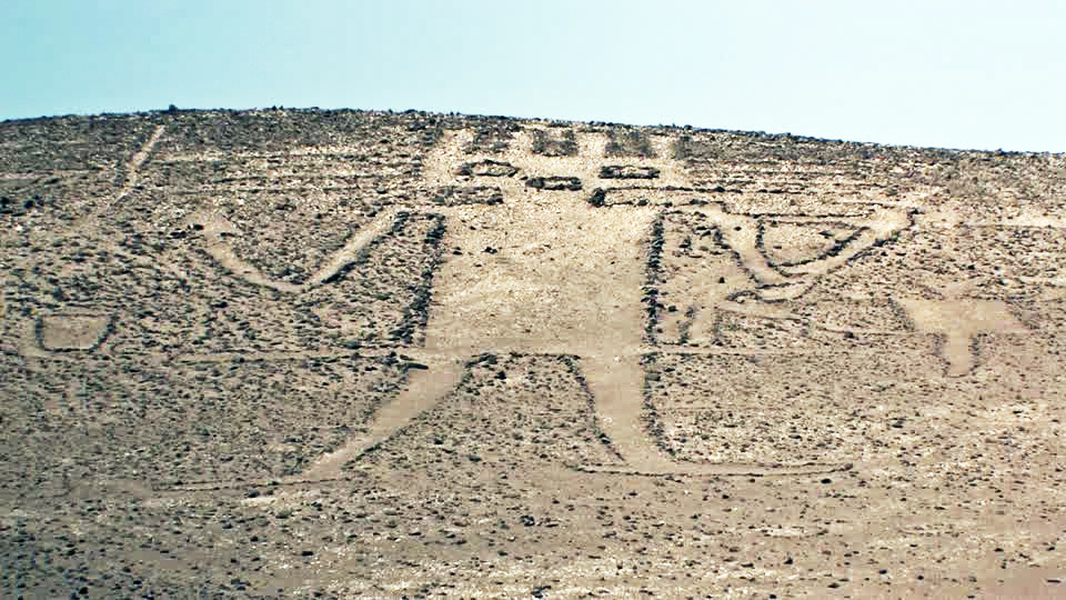
The guide Regent Seven Seas has chosen for our tour has been studying these enigmatic figures for years, but even he admits that all the reasons experts and amateurs have come up with to explain them have little evidence to back them up.
One explanation is that this was some kind of sacred religious site or observatory, with the giant image being the shape of some god and the rays coming from his head pointing to locations of the sun, the moon–or somewhere further away–to predict rainy seasons and harvests. As if farmers who lived on the soil did not know when to plant or harvest. Whatever.
It’s true that what’s today a desert could have been a more agricultural ancient shoreline of the ocean that dried up after an earthquake or two shoved up this notoriously shaky part of Chile. But there’s no evidence today of any ancient farms or villages in the area. Uh-oh.
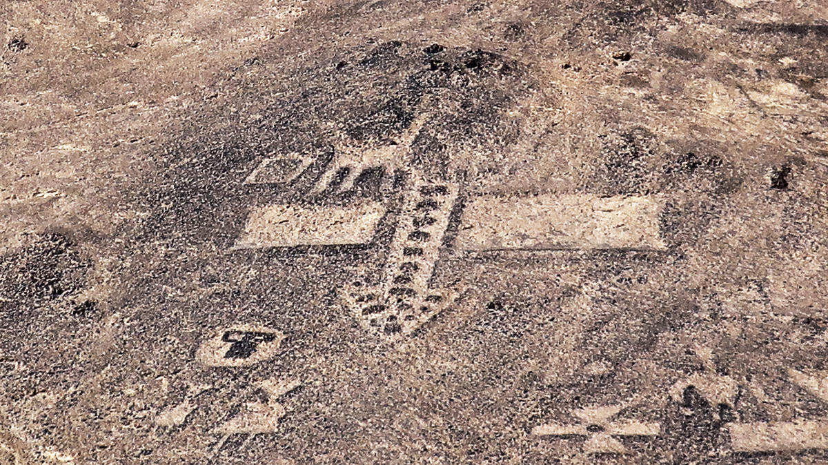
It’s assumed that all these geoglyphs were made sometime between 1000 and 1400 AD, although setting dates for scratches in the sand is a pretty sketchy science. At that time, the Incas and another lost civilization known as Tiwanaku were traders in the desert, so another plausible explanation is that this was a trading post for their llama caravans.
But why here, when there’s nothing for miles to buy or sell? Even weirder, why did the “stop and shop” messages have to be hundreds of feet high?
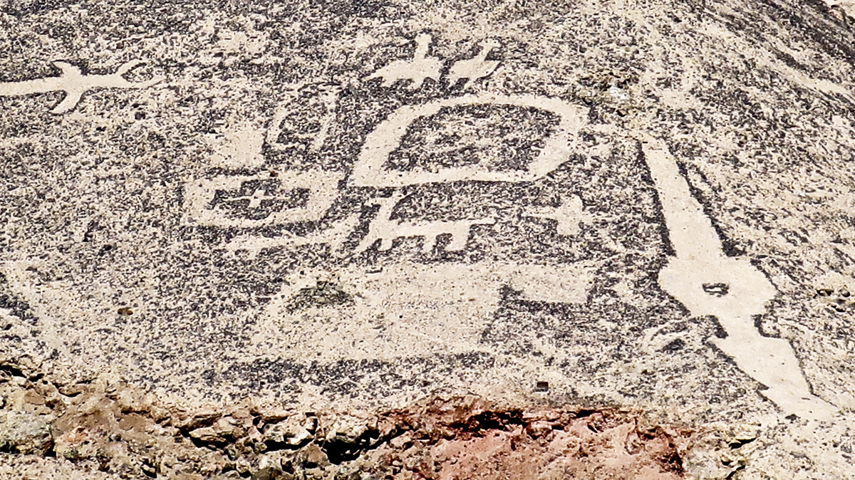
Is it a bird, or is it a plane?–Photo by Wallace Immen
Maybe ultimately, all these stones were just wishful thinking: signs set up by traders hoping to expand their business into the cloud and to pass the time between llama caravans. It makes for fun speculation and you can decide for yourself.
The hills are off limits to visitors to protect the shapes that are either made of piles of rock or dug into the soft hillsides. But that’s just as well, as the best vantage point is a trail across the sandy desert floor. It gets so hot here in the afternoon that water and wearing a wide-brimmed hat are necessities.
Fortunately there’s a modern visitors’ center with wash rooms (with a warning not to drink the water) and there’s plenty of water and air conditioning on Regent Seven Seas’ modern bus, so the excursion is definitely comfortable and worth the half-day trip.
I kept wondering, though, whether those who might have had to travel millions of miles from space to fuel up here would have felt quite as happy.
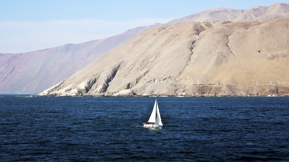
The enigmatic giant stone artworks are waiting for you to make your own guesses and there are expanding opportunities, with more cruises than ever visiting the west coast of South America.
Regent Seven Seas has several South America cruises on Seven Seas Mariner and Seven Seas Voyager scheduled in 2020 and 2021 that include Chilean ports. The geoglyphs tour is part of a remarkable collection of complimentary shore excursions included on Regent cruises.
All the signs urge you to stop by next time you’re in the neighborhood.

